uDig is an open-source desktop geographic information system (GIS) application for editing and viewing geospatial data, such as a map file in the shapefile format. It supports OpenGIS standards and provides advanced Internet GIS, Web Map Service (WMS), and web servers. Based on Java, uDig allows you to use open-source plug-ins to view and manage geospatial data.
Add a connection to a GanosBase database
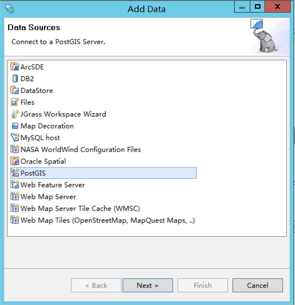
Run uDig. In the top navigation bar, choose . In the dialog box that appears, select PostGIS and click Next.

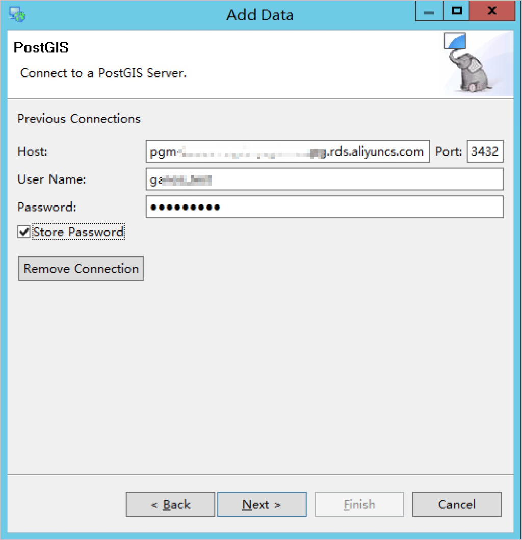
Set the connection information about the database.

The following table describes the parameters.
Parameter
Description
Host
The IP address of the database or the public network endpoint of the ApsaraDB for Relational Database Service (RDS) or PolarDB instance. You can obtain the endpoint from the Alibaba Cloud console.
Port
The port number of the database. You can obtain the port number from the Alibaba Cloud console.
User Name
The username used to log on to the database.
Password
The password used to log on to the database.
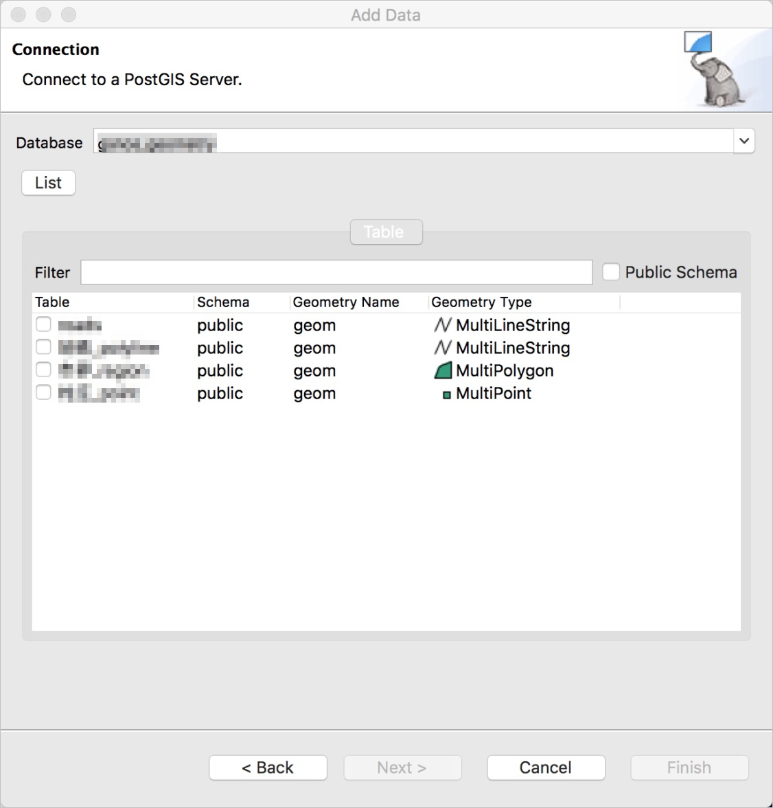
Select a database from the Database drop-down list.

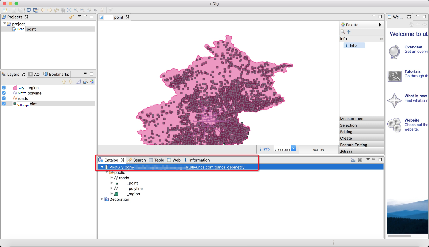
View and manage the geospatial data
After uDig is connected to the GanosBase database, you can browse, view, and manage the geospatial data in the GanosBase database.
