By digoal
PostGIS integrates SFCGAL to process 3D spatial data gracefully.
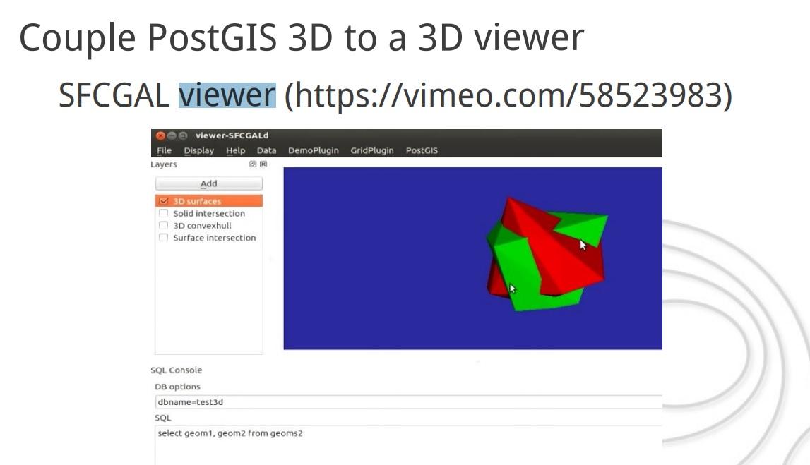
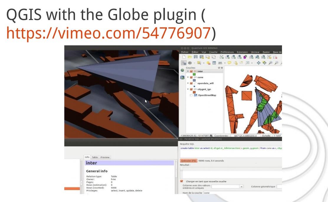
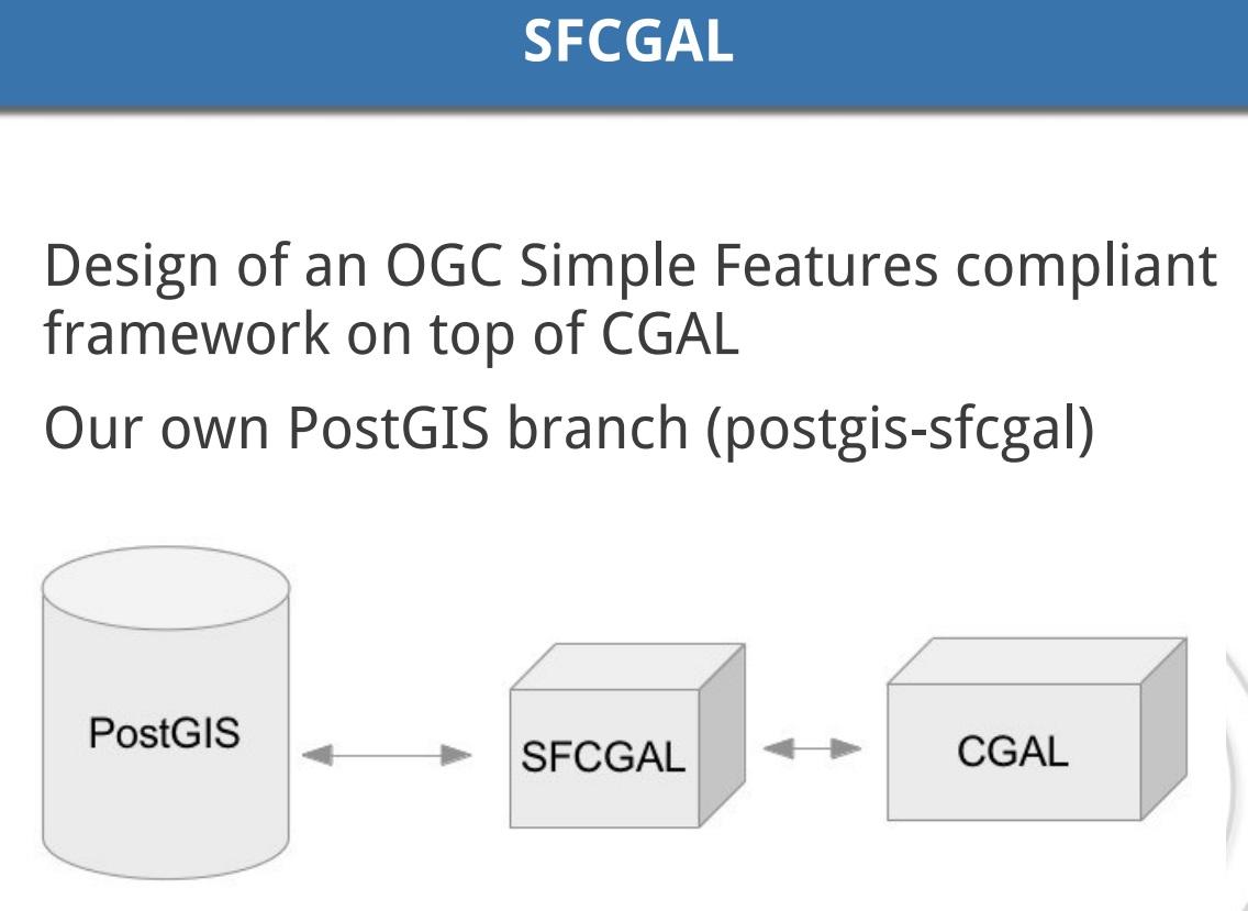
SFCGAL, a C++ wrapper library around CGAL that supports ISO 19107:2013 and OGC Simple Features Access 1.2 for 3D operations, is now an optional included in PostGIS.
This was a quiet outcome of the Boston Code Sprint after Paul Ramsey declared exact rational number representation would not make its way into PostGIS.
What does this mean for a typical PostGIS user? It adds an excellent suite of new 2D and 3D functions: http://postgis.net/docs/manual-2.4/reference.html
postgis_sfcgal_version — Returns the version of SFCGAL in use

ST_Extrude — Extrude a surface to a related volume

ST_StraightSkeleton — Compute a straight skeleton from a geometry

ST_ApproximateMedialAxis — Compute the approximate medial axis of an areal geometry.

ST_IsPlanar — Check if a surface is or not planar

ST_Orientation — Determine surface orientation

ST_ForceLHR — Force LHR orientation

ST_MinkowskiSum — Performs Minkowski sum

ST_3DIntersection — Perform 3D intersection

ST_3DDifference — Perform 3D difference

ST_3DUnion — Perform 3D union

ST_3DArea — Computes area of 3D surface geometries. Will return 0 for solids.

ST_Tesselate — Perform surface Tesselation of a polygon or polyhedralsurface and returns as a TIN or collection of TINS

ST_Volume — Computes the volume of a 3D solid. If applied to surface (even closed) geometries will return 0.

ST_MakeSolid — Cast the geometry into a solid. No check is performed. To obtain a valid solid, the input geometry must be a closed Polyhedral Surface or a closed TIN.

ST_IsSolid — Test if the geometry is a solid. No validity check is performed.
ST_Extrude is a handy function for doing things like this:
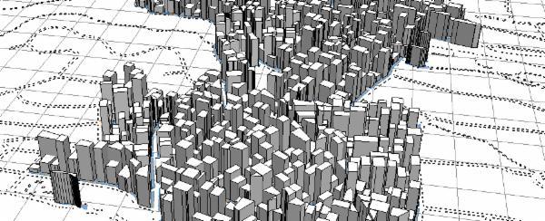
Fig: Simulated extruded building footprints from City Engine
ST_StraightSkeleton does in one step the first phase of what has been going on about for a couple of years — Voronoi diagrams (and bypasses Voronoi altogether):
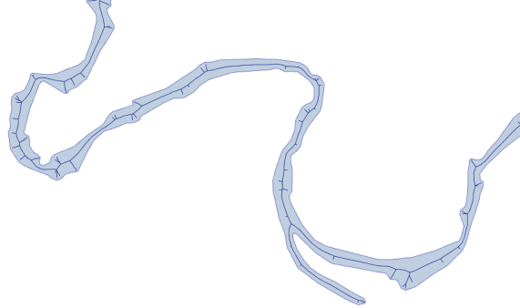
Fig: Approximation of straight skeleton/skeletonization of stream polygon
In advance of an SFCGAL install guide for PostGIS, a good source for info on install can be gleaned from the PostGIS Developers listserve.
PostgreSQL: ST_Value Function Usage Examples to Optimize Raster Data in a Database
PostgreSQL: How to Optimize Spatial Index-based Query Performance for Multipolygon Data
digoal - January 25, 2021
digoal - December 18, 2020
digoal - December 18, 2020
digoal - May 25, 2021
digoal - February 14, 2021
digoal - January 25, 2021
 PolarDB for PostgreSQL
Alibaba Cloud PolarDB for PostgreSQL is an in-house relational database service 100% compatible with PostgreSQL and highly compatible with the Oracle syntax.
Learn More AnalyticDB for PostgreSQL
An online MPP warehousing service based on the Greenplum Database open source program
Learn More ApsaraDB RDS for PostgreSQL
An on-demand database hosting service for PostgreSQL with automated monitoring, backup and disaster recovery capabilities
Learn More Database for FinTech Solution
Leverage cloud-native database solutions dedicated for FinTech.
Learn MoreMore Posts by digoal